Search The MLS
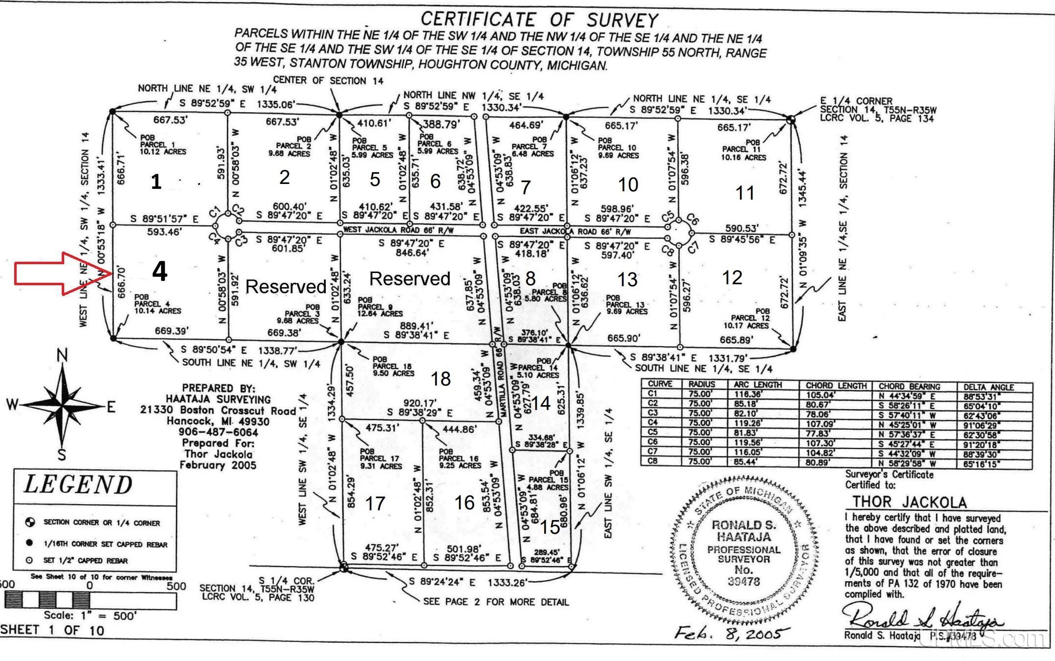
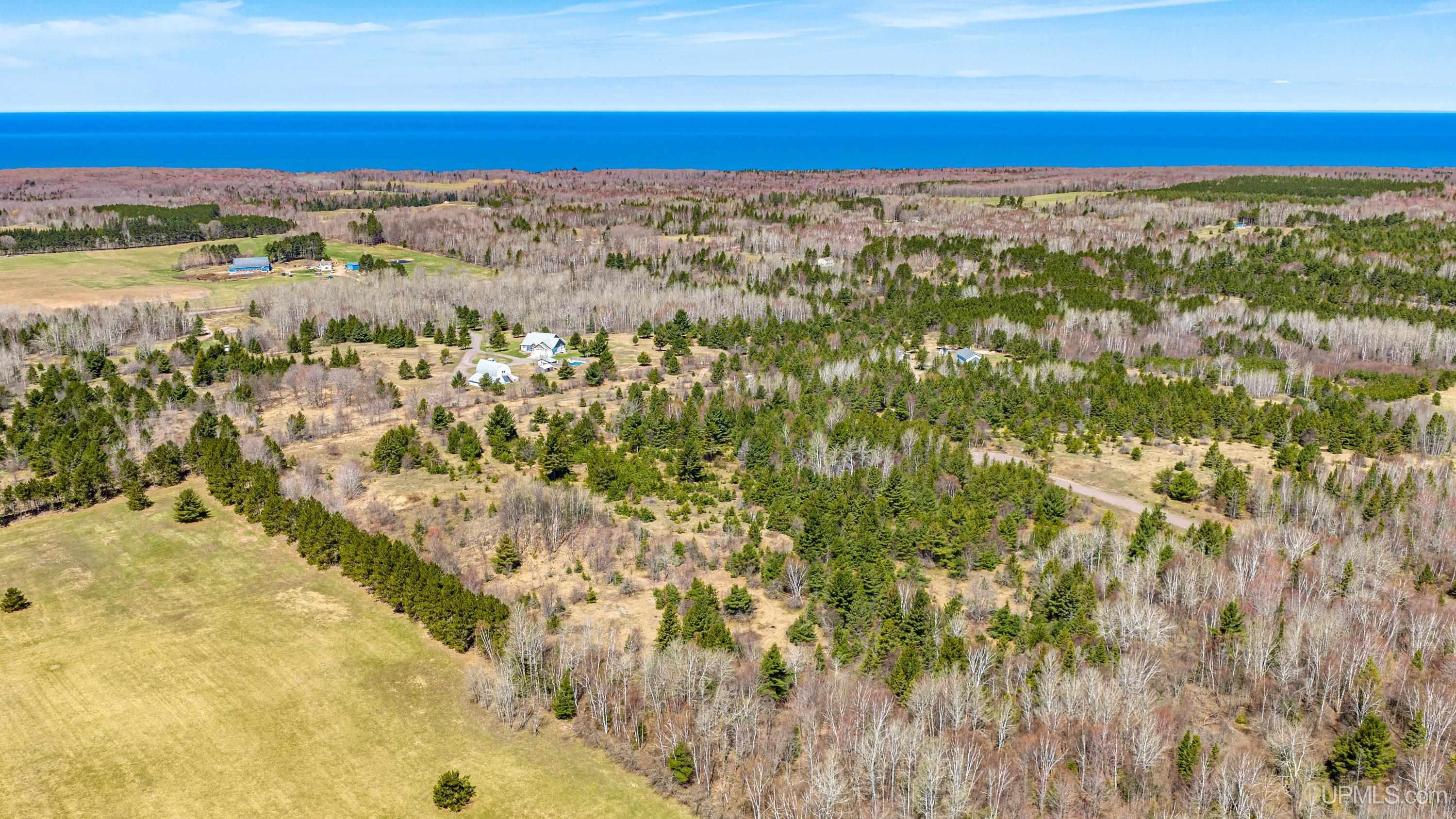
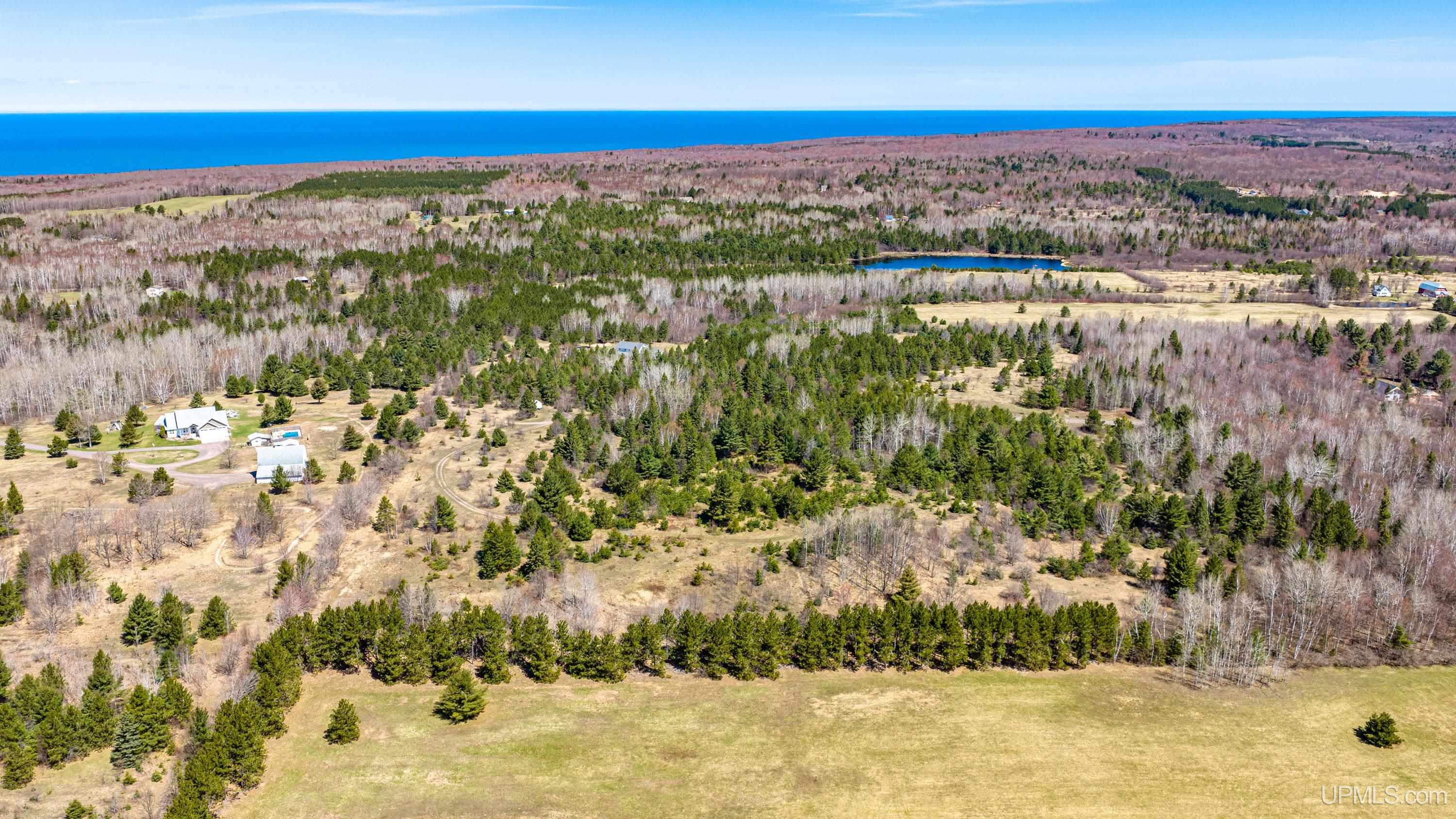
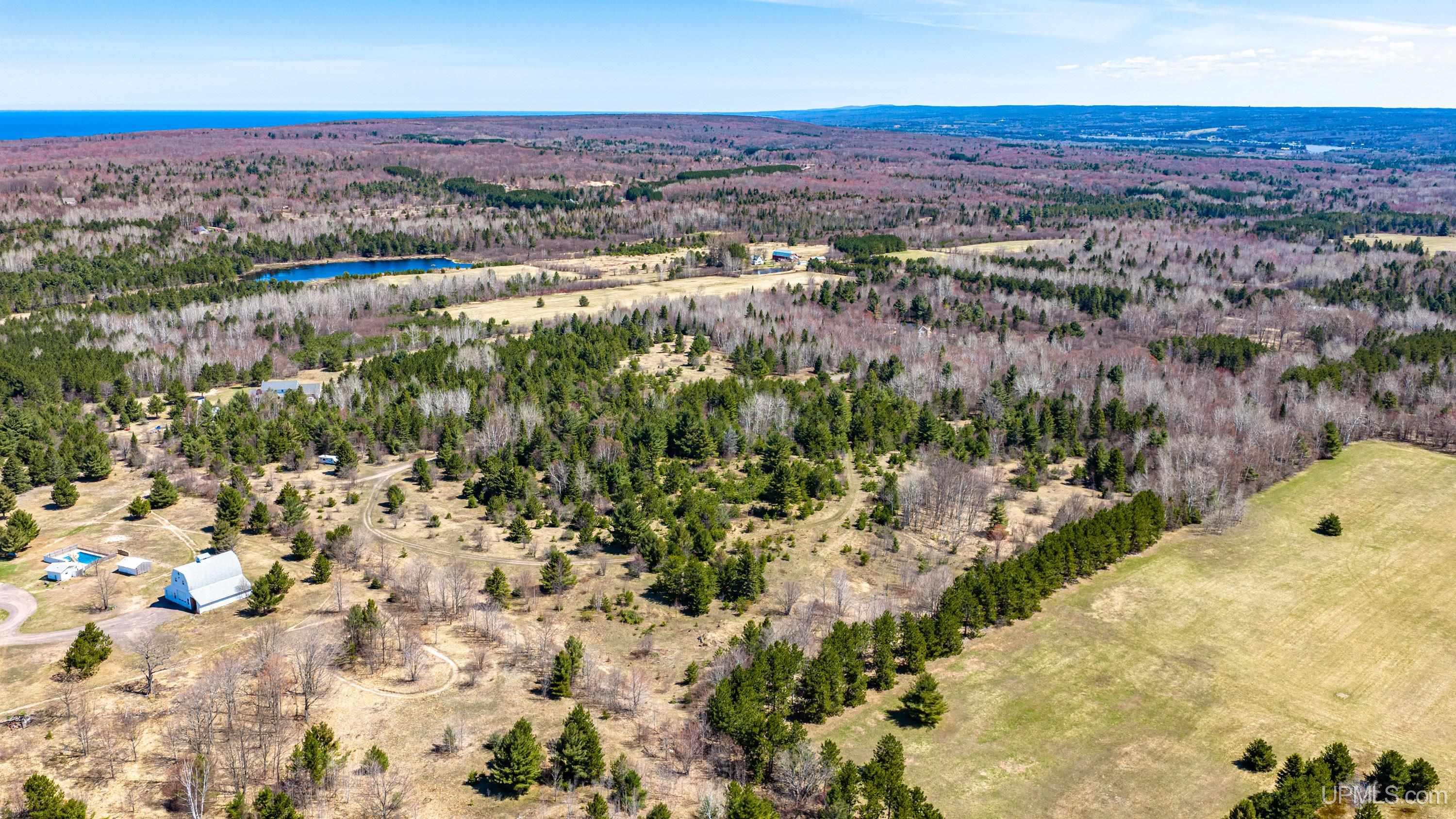
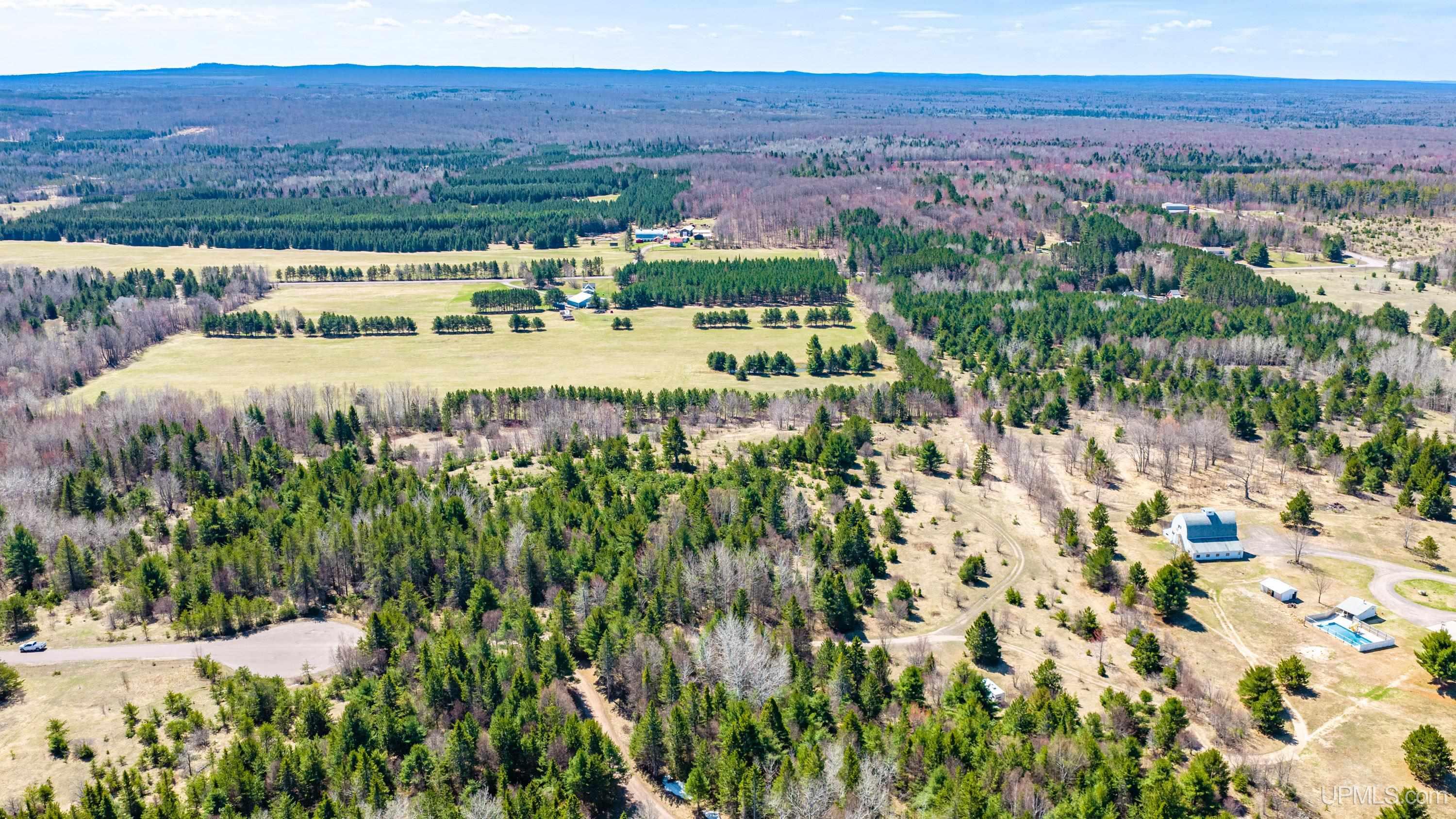
13361 W Jackola (#4) Road
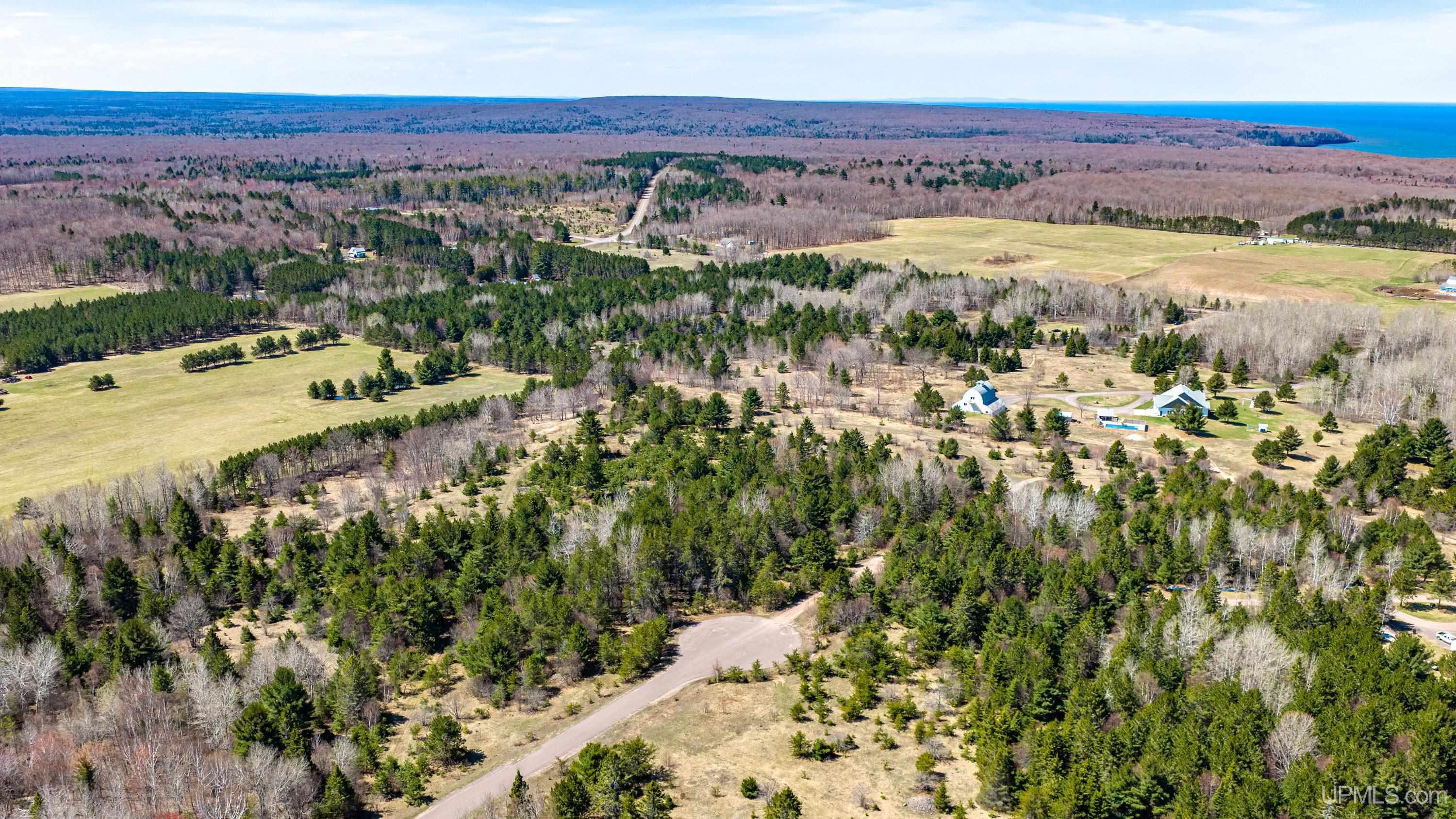
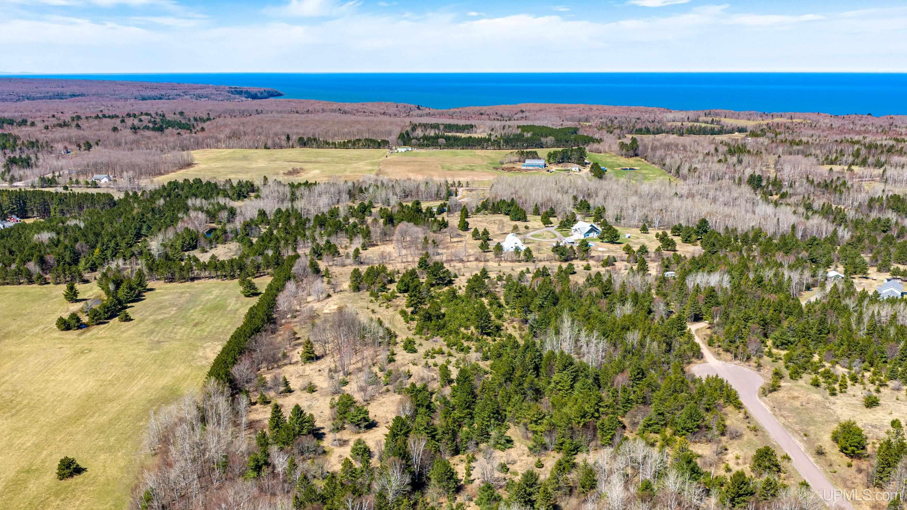
Atlantic Mine, MI 49905
$119,000
MLS# 50207152
|
LISTING STATUS Sale Pending |
Location
|
SCHOOL DISTRICT Stanton Twp Public Schools |
|
COUNTY Houghton |
WATERFRONT No |
|
PROPERTY TAX AREA Stanton Twp (31028) |
|
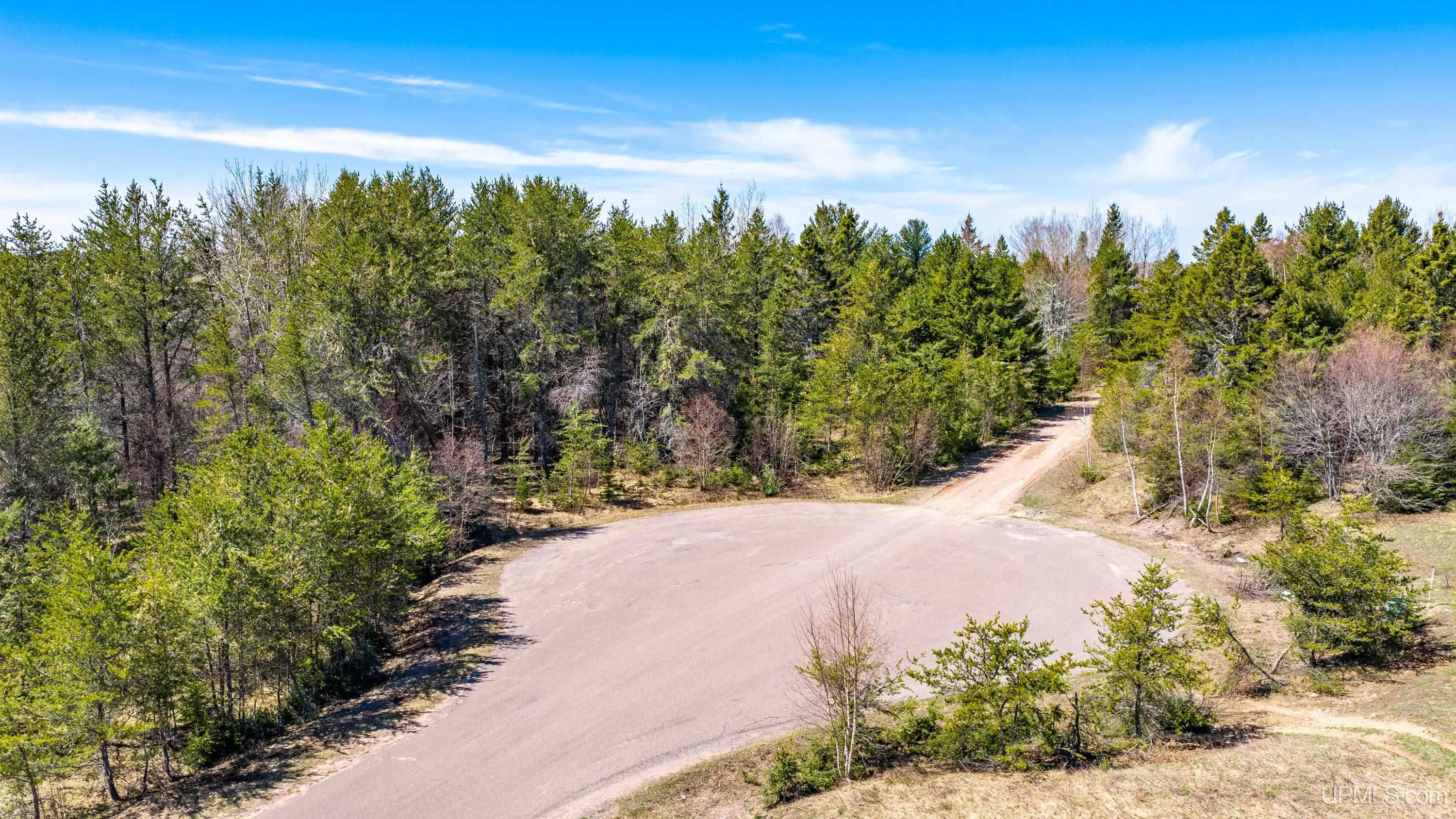
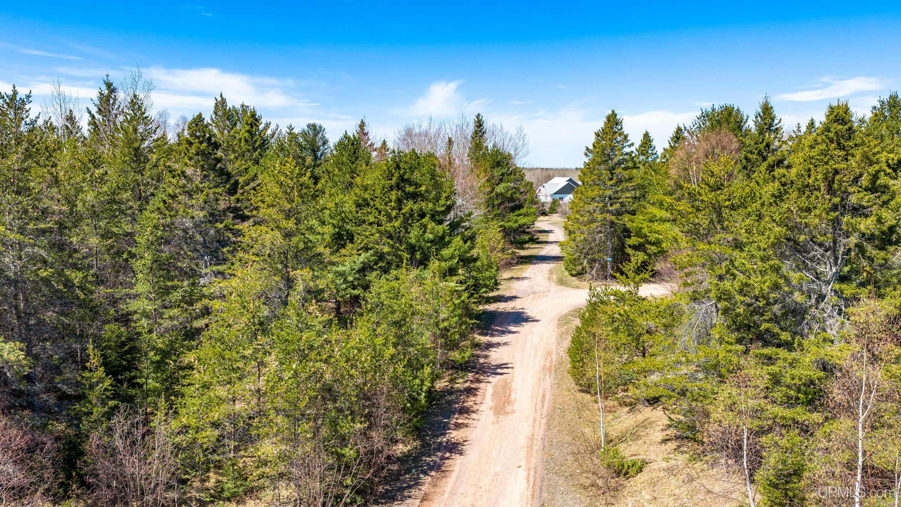
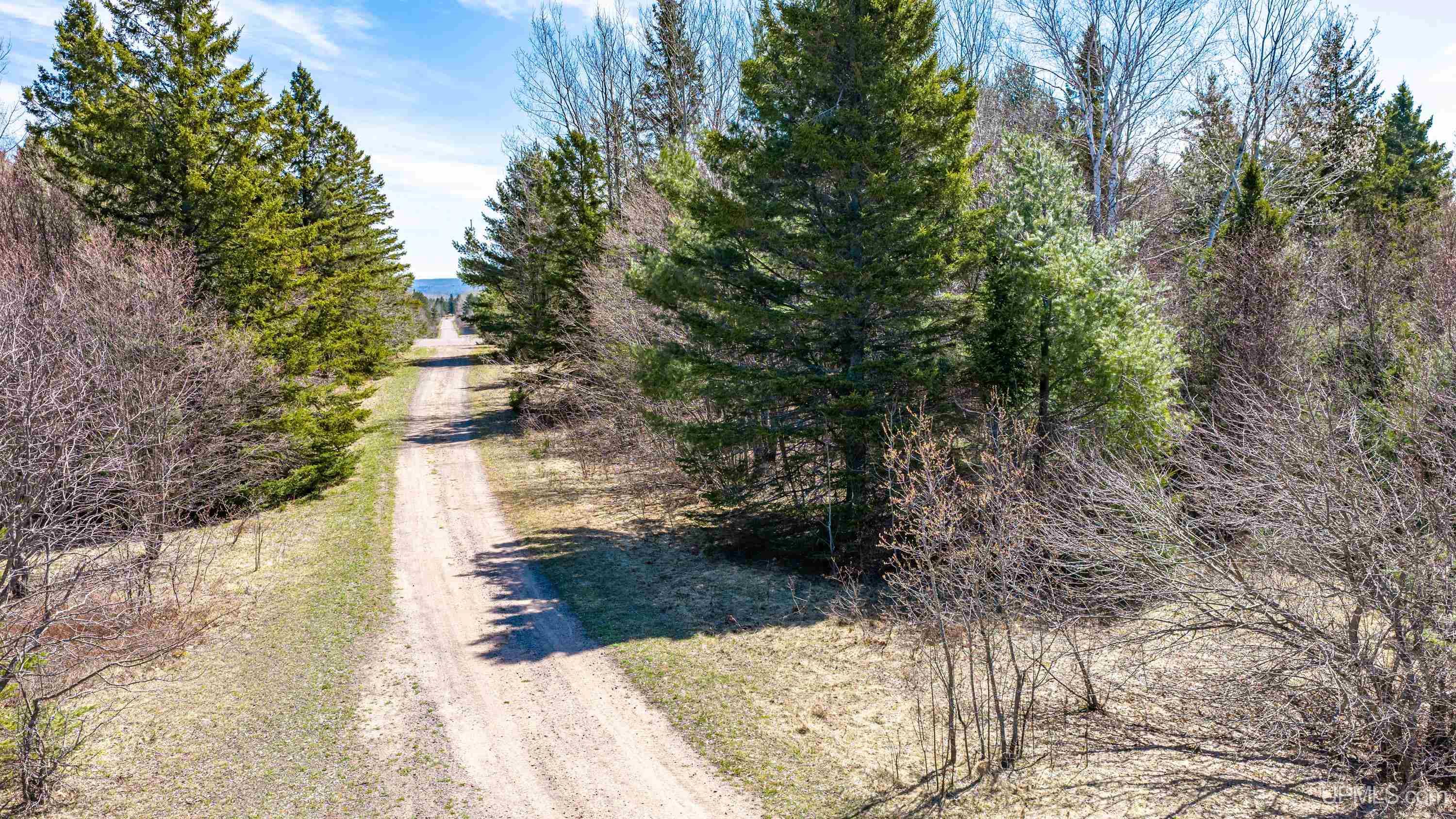
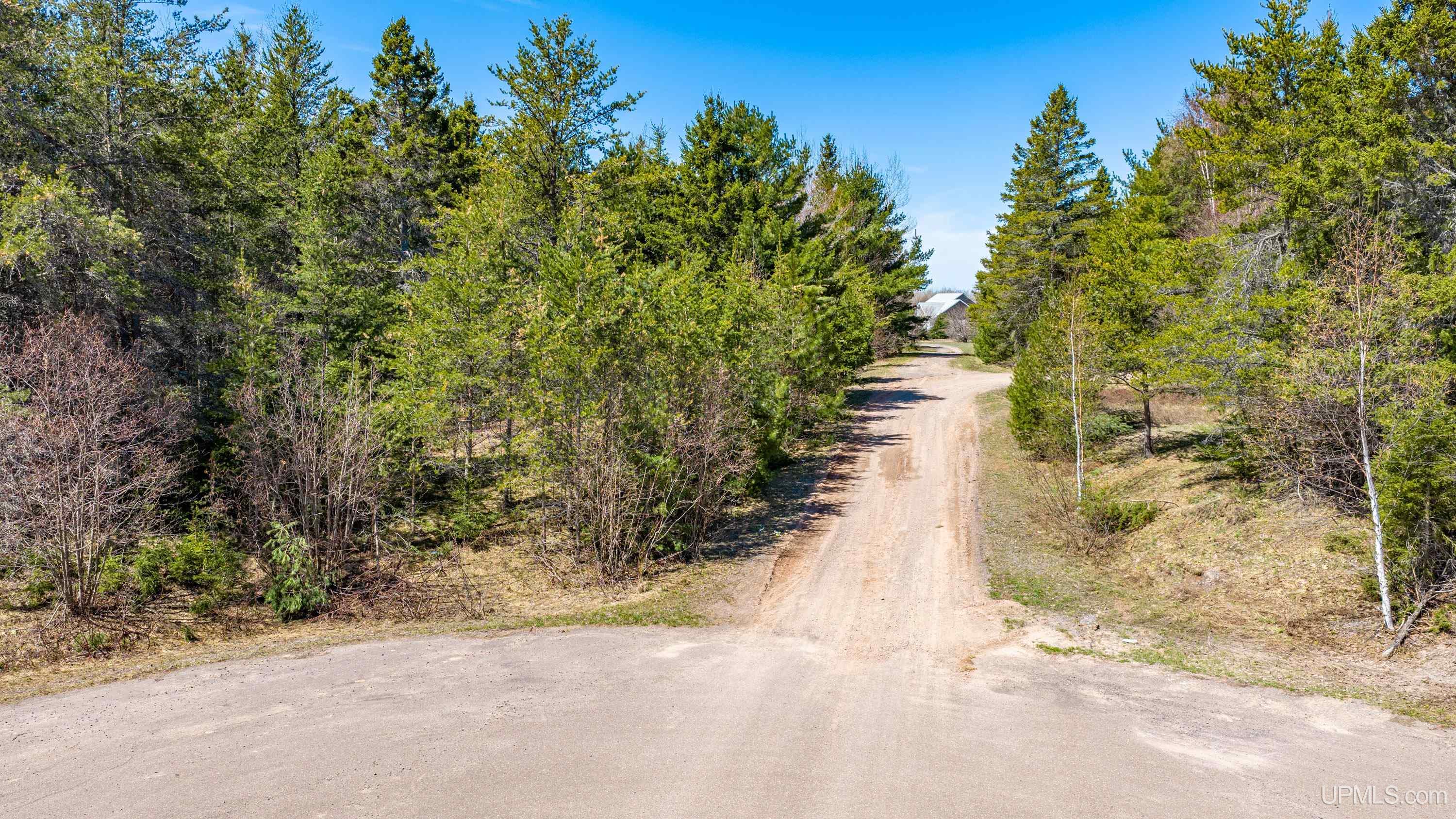
ROAD ACCESS City/County, Paved Street, Year Round |
|
WATER FEATURES None |
|
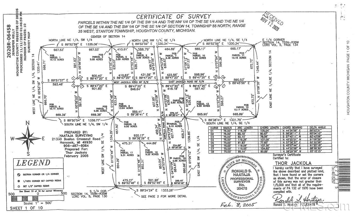
LEGAL DESCRIPTION ST5-14-8-4 SEC 14 T55N R35W A PAR OF LAND IN NE 1/4 OF SW 1/4 D/F; COM @ S 1/4 COR OF SD SEC 14; TH N 01 DEG 02'48" W ALNG W LN OF SW 1/4 OF SE 1/4 OF SD SEC 14 1334.39'; TH N 89 DEG 50'54" W ALNG S LN OF NE 1/4 OF SW 1/4 OF SD SEC 1338.77' TO POB; TH N 00 DEG 53'18" W ALNG W LN OF NE 1/4 OF SW 1/4 OF SD SEC 666.60' TO A REBAR; TH S 89 DEG 51'57" E 593.46' TO A REBAR ON W SIDE OF A 75 RAD CUL-DE-SAC; TH AROUND A CRVE LEFT HAV A RAD OF 75' W/ AN ARC LENGTH OF 119.26', A DELTA ANGLE OF 91 DEG 06'29", A CHORD OF 107.09', AND A CHRD BEARING OF S 45 DEG 25'01" E TO A REBAR; TH S 00 DEG 58'03" E 591.92' TO A REBAR; TH N 89 DEG 50'54" W ALNG S LINE OF NE 1/4 OF SW 1/4 OF SD SEC 669.39' TO POB. CONT (AKA PARCEL 4 JACKOLA SUBDIVISION) |
|
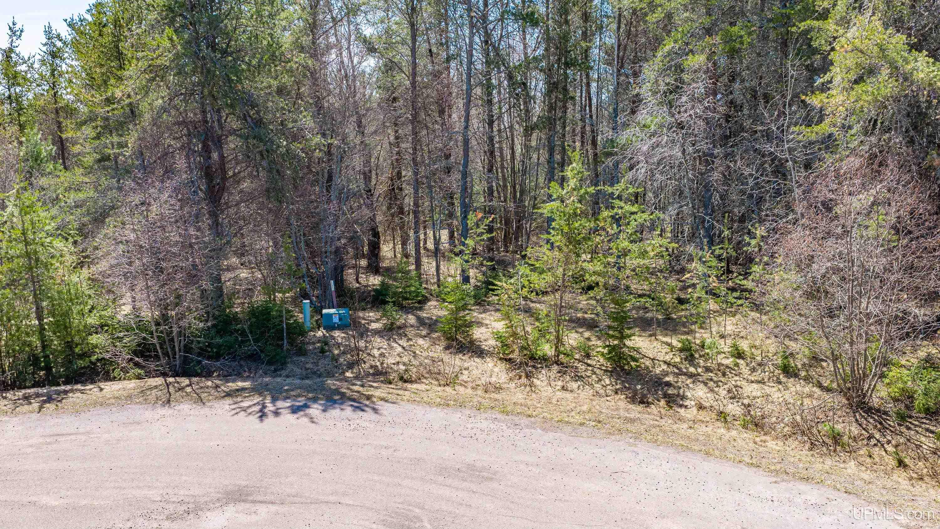
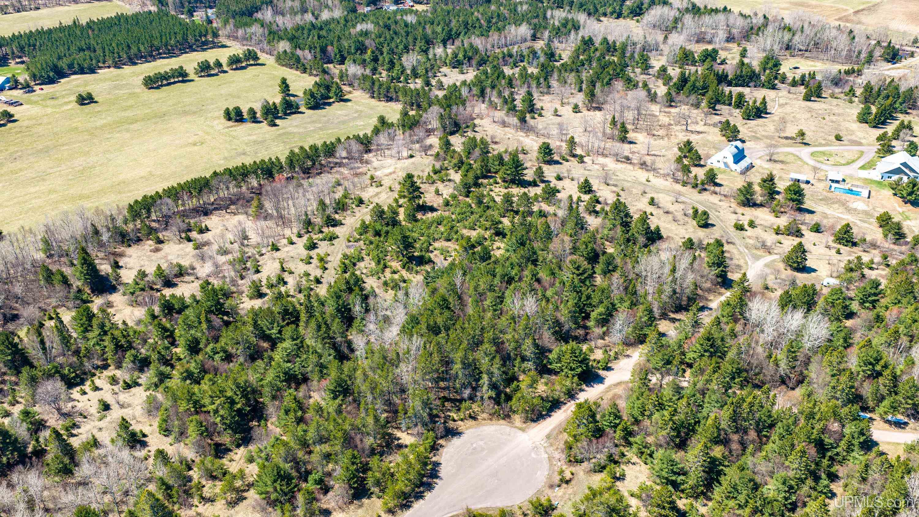
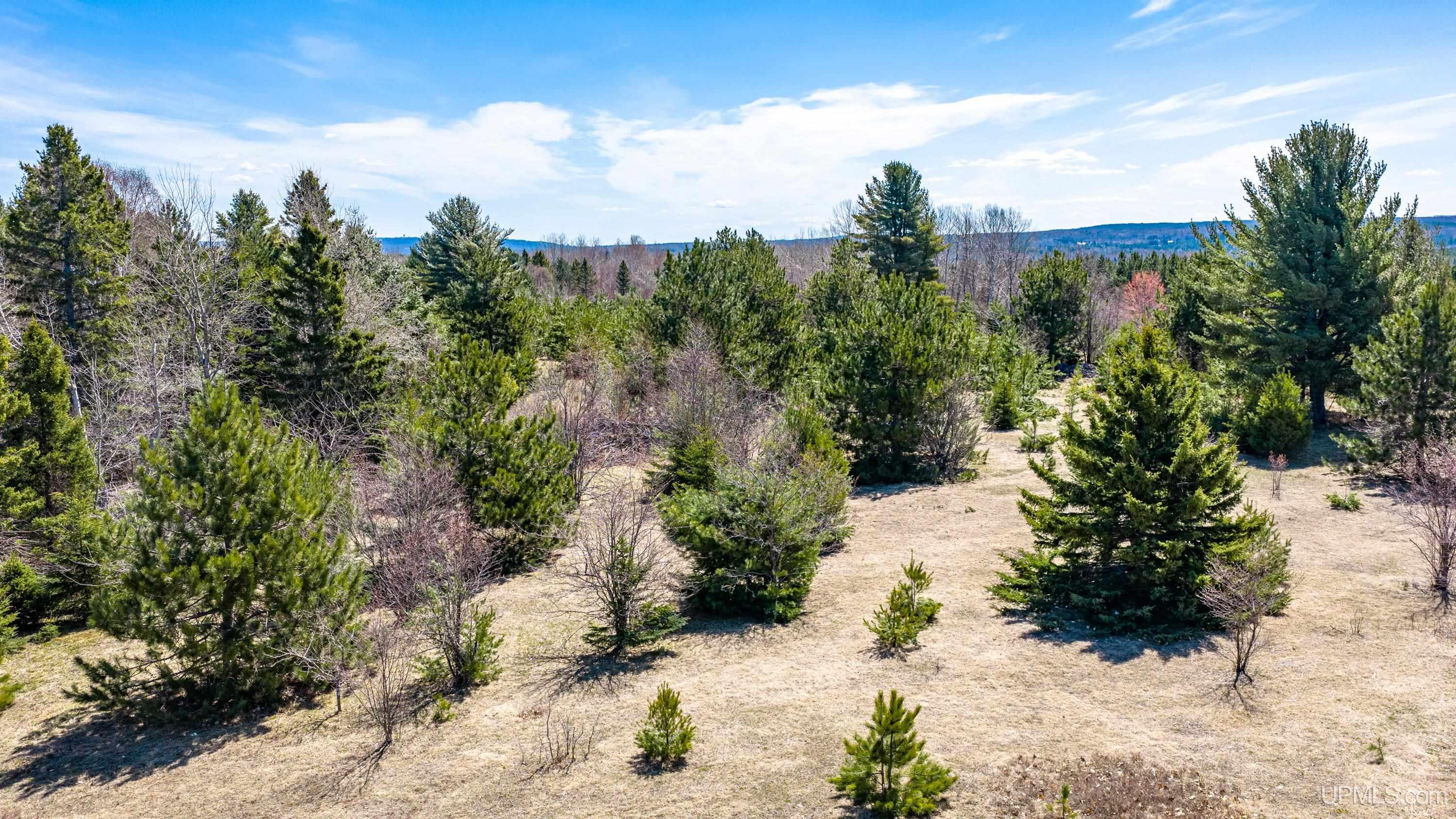
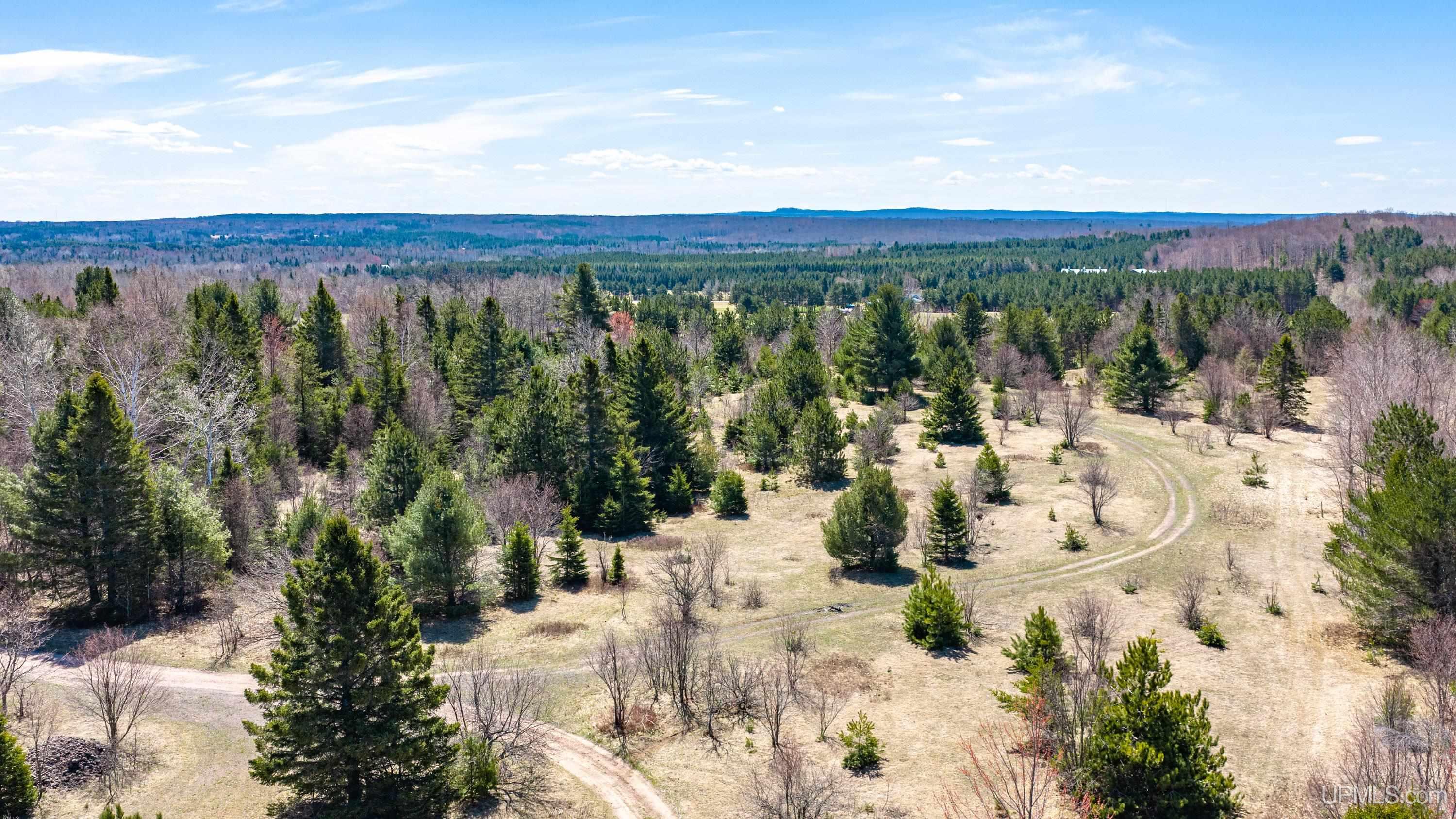
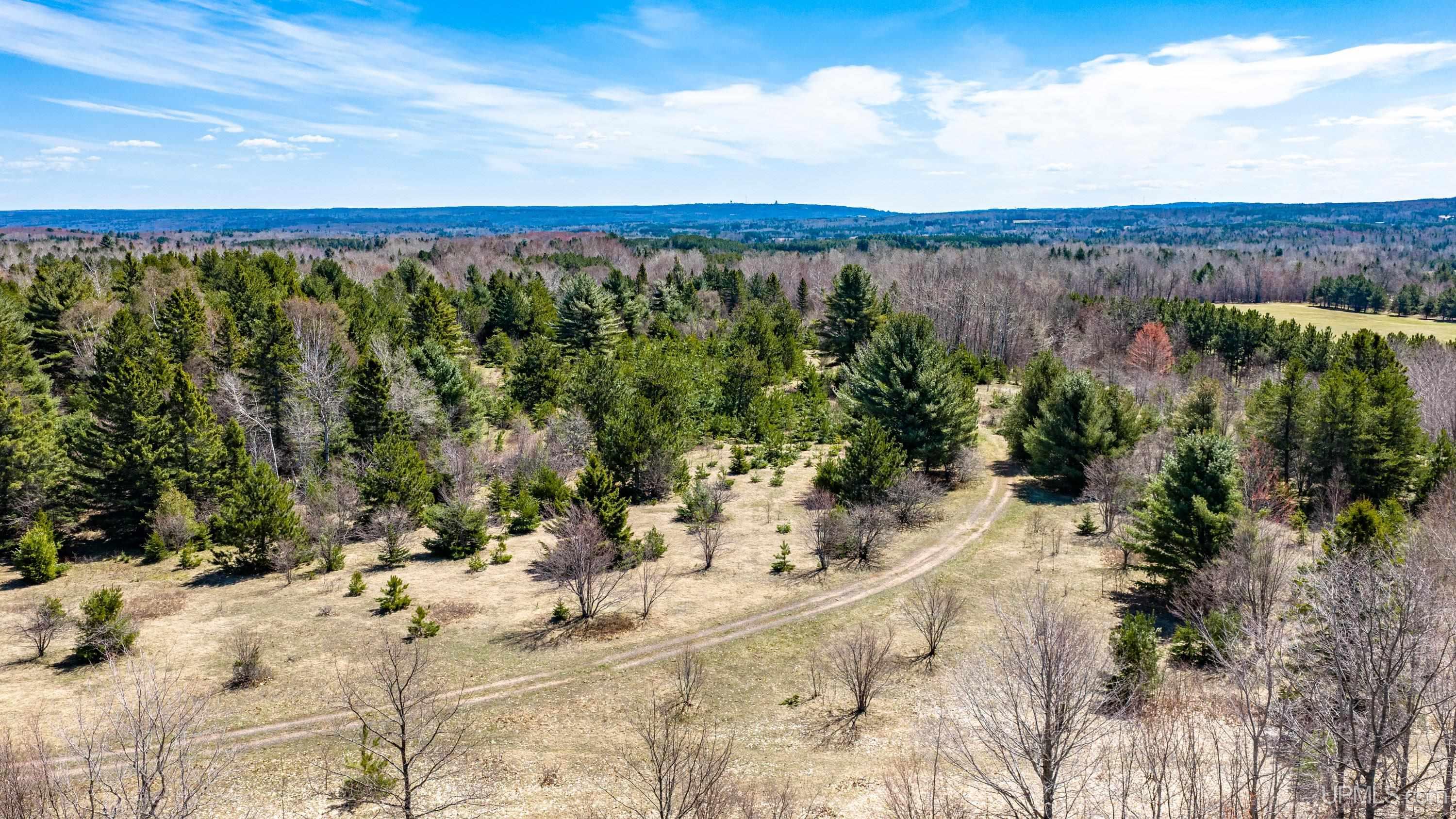
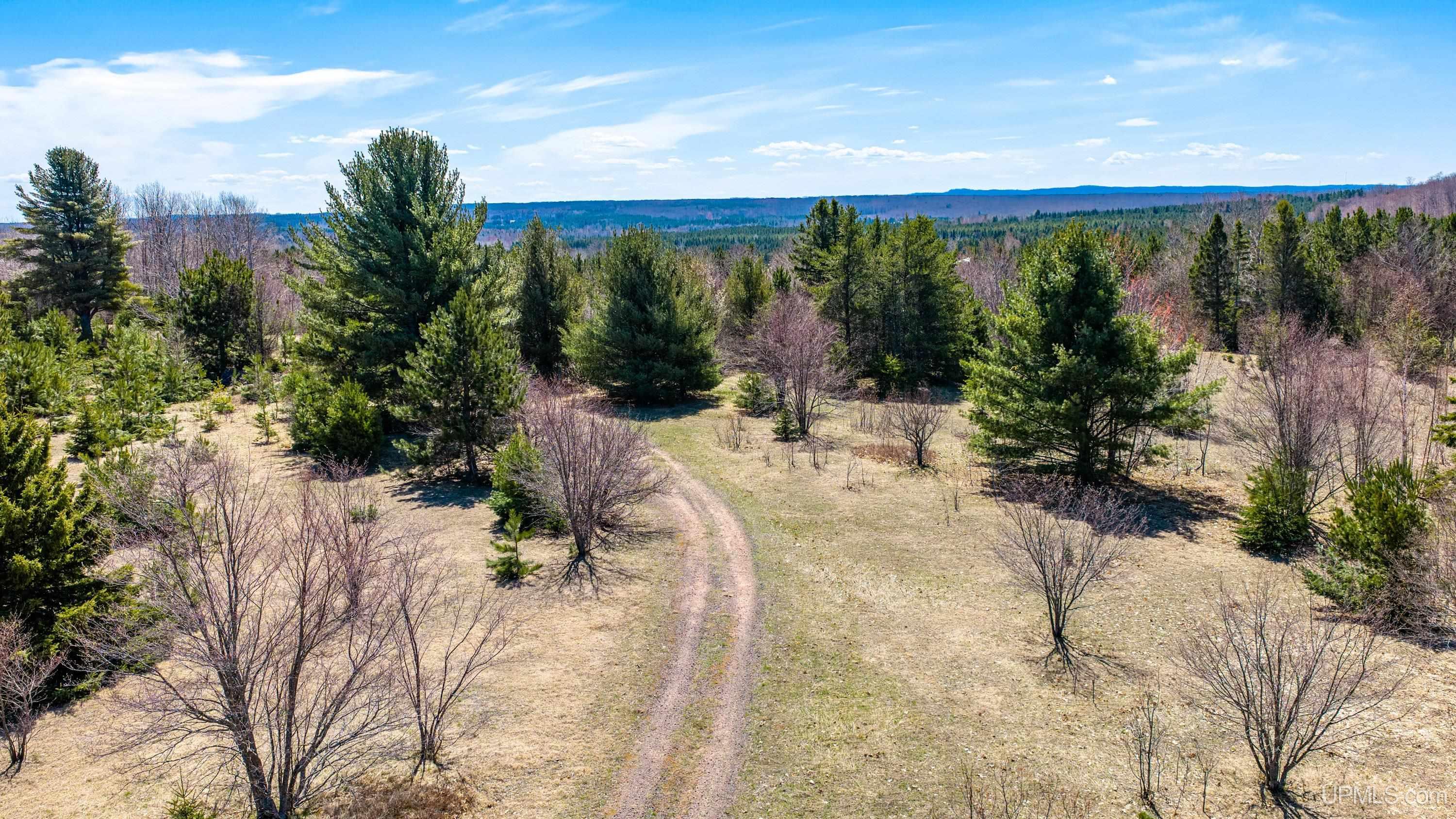
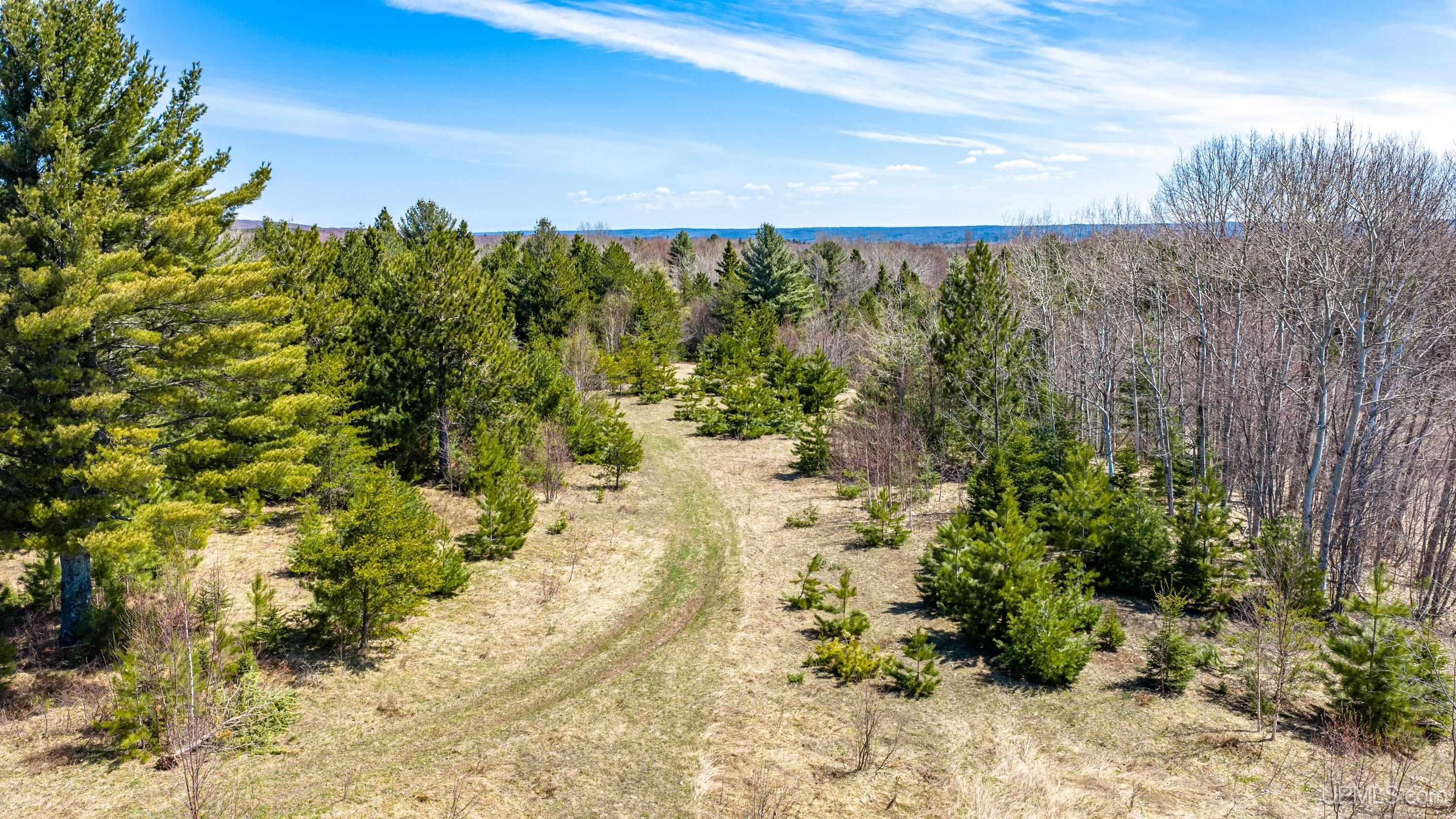
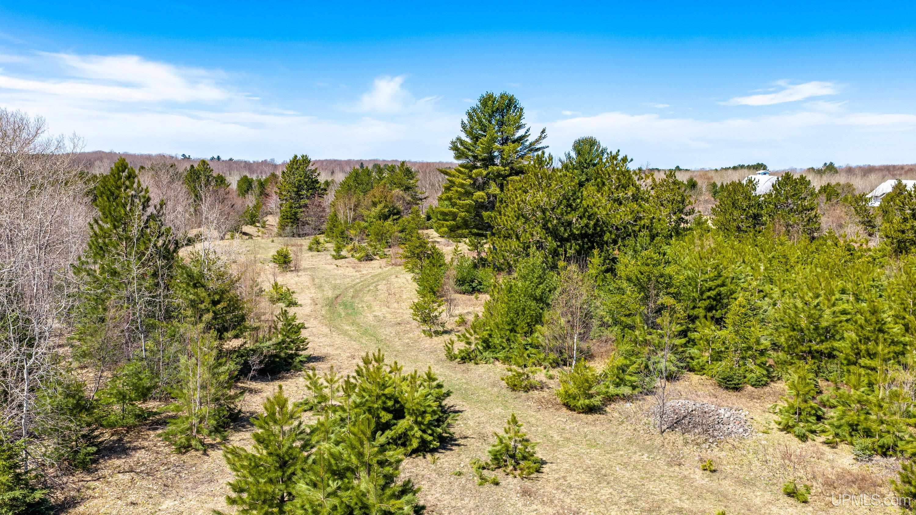
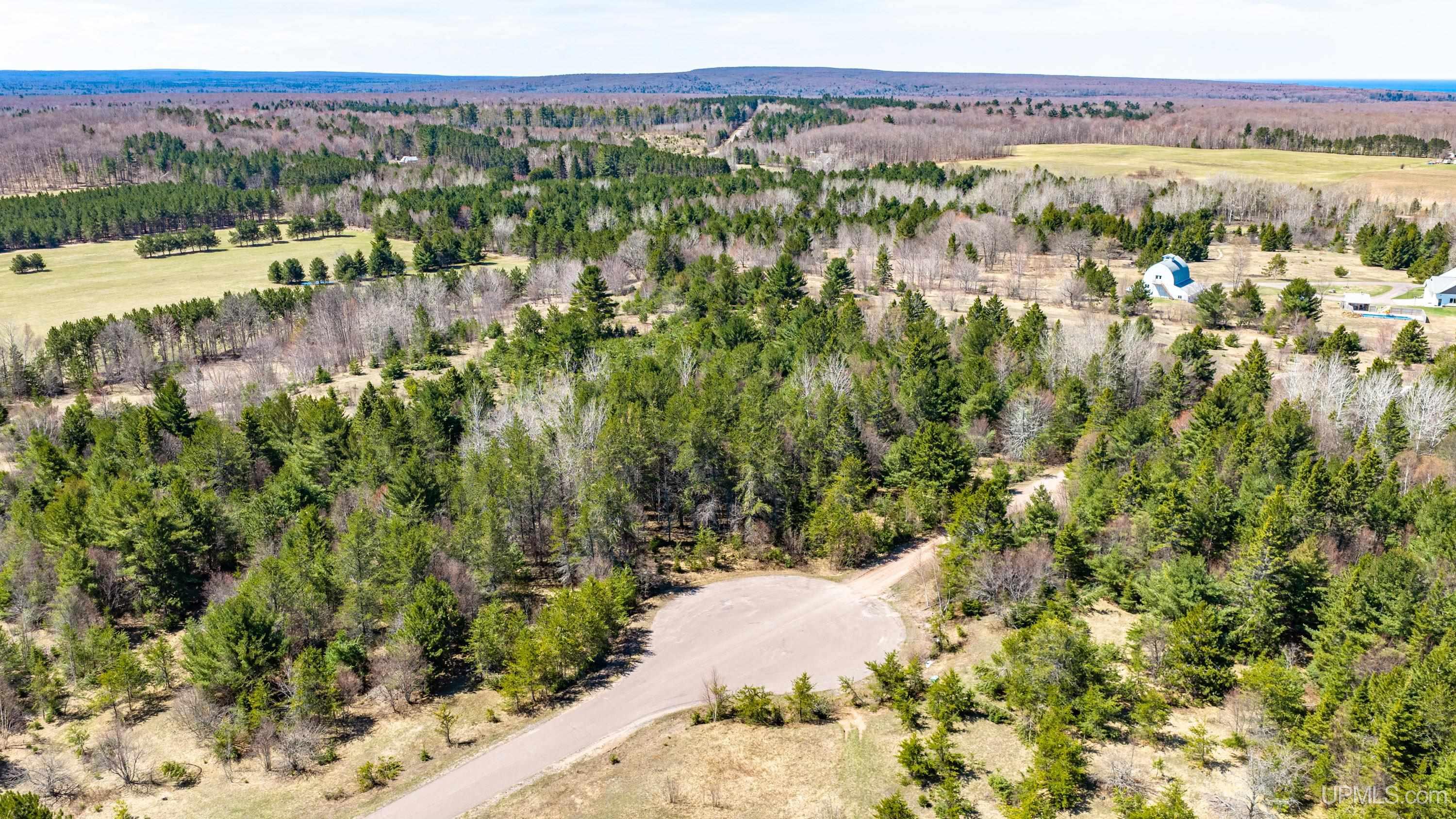
ACRES (APPROX.) 10.14 |
BODY OF WATER |
|
ROAD ACCESS City/County, Paved Street, Year Round |
LOT DIMENSIONS
|
119x591x669x666x593+/- |
SHORE TYPE
|
Not Applicable |
|
TERRAIN Partially Wooded |
Utilities
|
UTILITIES Electricity Available |
|
SEWER None |
|
FUEL ON SITE Electric |
Listing Details
|
LISTING OFFICE Century 21 Affiliated |
|
LISTING AGENT Weidner (jukuri), Kristine |