Search The MLS
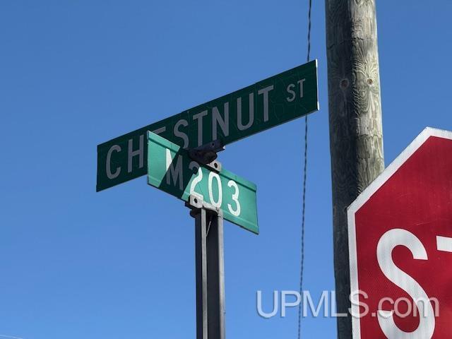
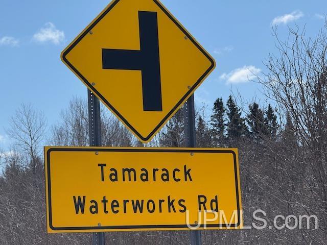
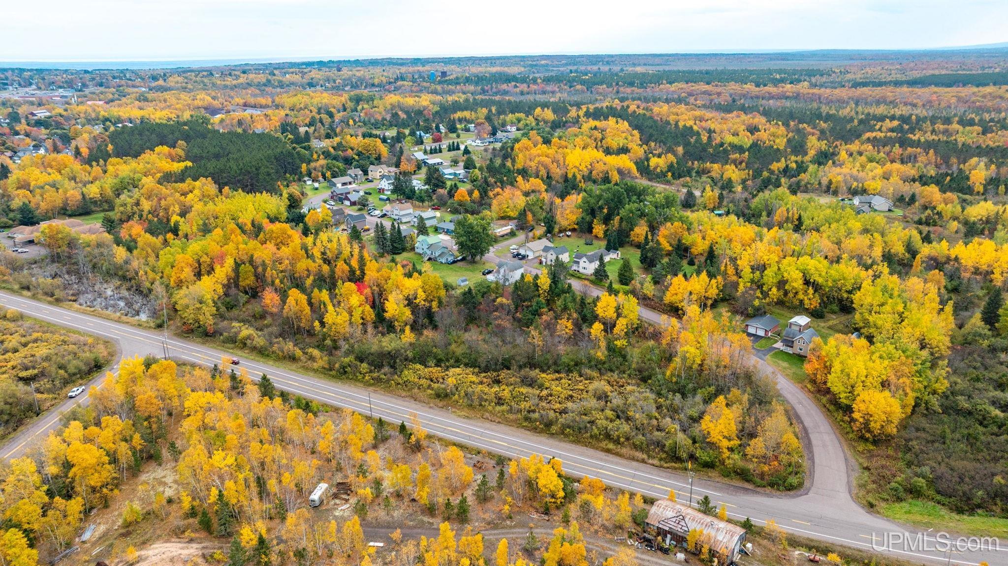
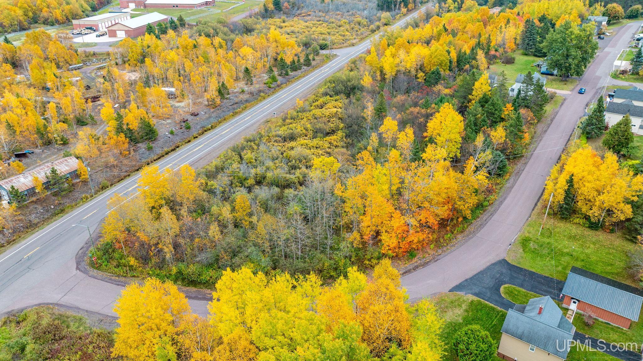
TBD M-203 Highway
Calumet, MI 49913
$34,900
MLS# 50169249
|
LISTING STATUS Active |


Location
|
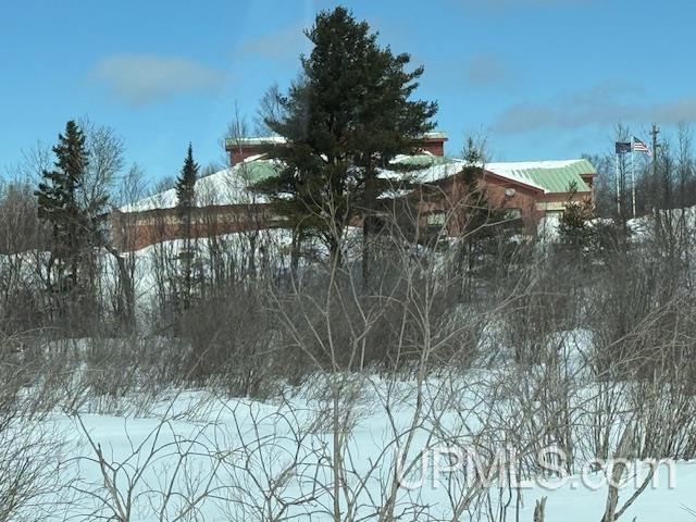
SCHOOL DISTRICT Public Schools of Calumet |
|
COUNTY Houghton |
WATERFRONT No |
|
PROPERTY TAX AREA Osceola Twp (31021) |
|
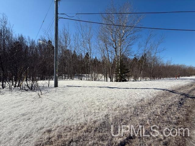
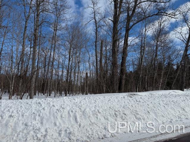
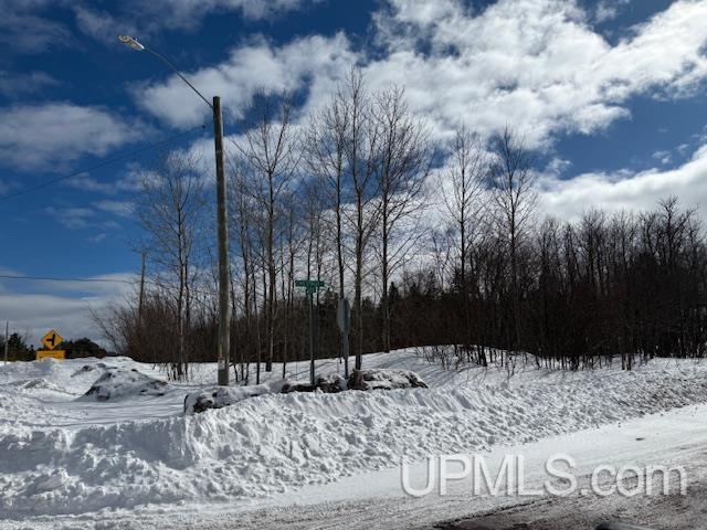
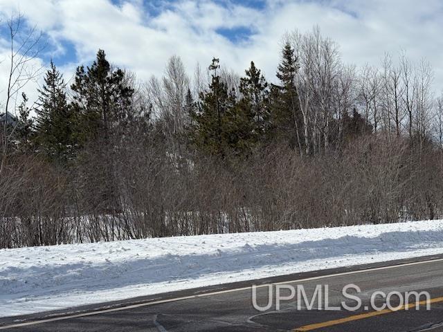
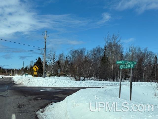
ROAD ACCESS Paved Street, Year Round, Black Top |
|
WATER FEATURES None |
|
LEGAL DESCRIPTION 02-15-3A SEC 15 T56N R33W COM AT NE COR OF SEC 15, TH S 0 DEG 21' 20" W 1917.78'TO S SIDE OF M203 & POB., TH S 0 DEG 21' 20" W 239.63, TH ALONG N'LY BDRY OF TAMARACK HILLS SUBDIVISION 4 COURSES, N 52 DEG 7' 55" W 101.72', THN 89 DEG 22' 41" W 132.82' , TH N 52 DEG 7' 54" W 406.56', TH N 86 DEG 26' 32" W 143.24' TO PT OF CURVATURE OF A NON TANGENT CURVE, CONCAVE TO E HAVING A RADIUS OF 193.06'A CENTRAL ANGLE OF 44 DEG 35' 4" & A CHORD OF 146.47' BEARING N 3 DEG 52' 3" W, TH N ALONG SAID CURVE 150 . 23', TH N 17 DEG 53' 2" E 73.05' AT PT OF CURVATURE OF NON TANGENT CURVE CONCAVE TO S HAVING A RADIUS OF 478.99',A CENTRAL ANGLE OF 4 DEG 10' 23" & A CHORD OF 34.88' BEARING S 67 DEG 51' 9" E, TH E ALONG SAID CURVE 34.89', TH S 65 DEG 45' |
|
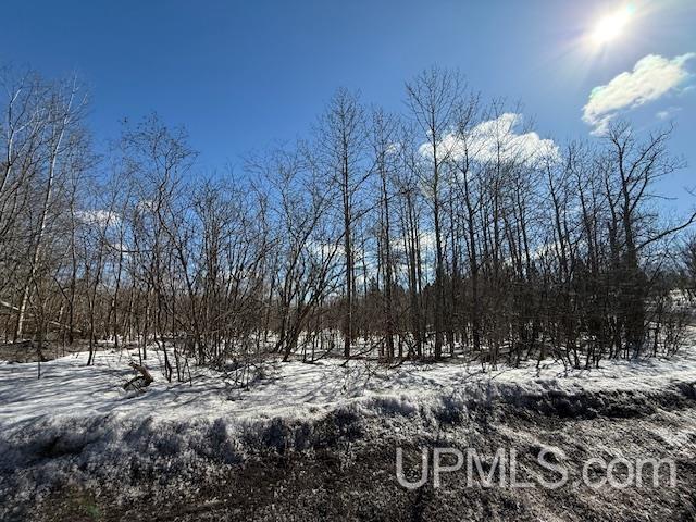
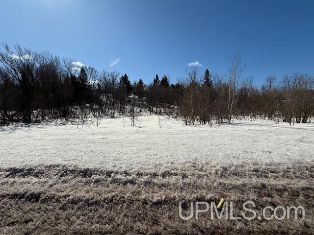
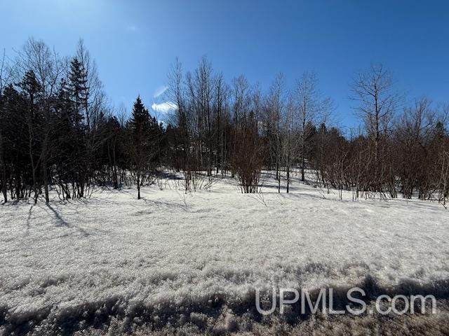
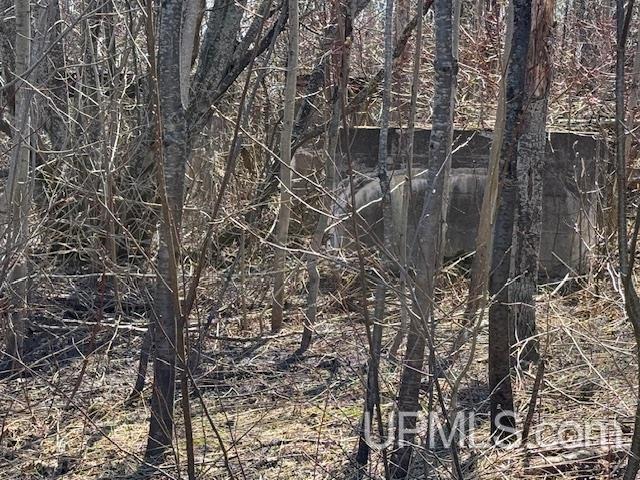
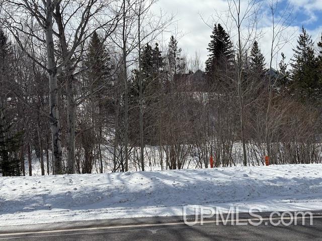
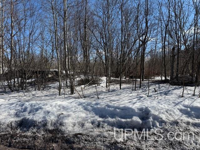
ACRES (APPROX.) 3.50 |
BODY OF WATER |
|
ROAD ACCESS Paved Street, Year Round, Black Top |
LOT DIMENSIONS
|
694x34x150x143x406x132... |
SHORE TYPE
|
Not Applicable |
|
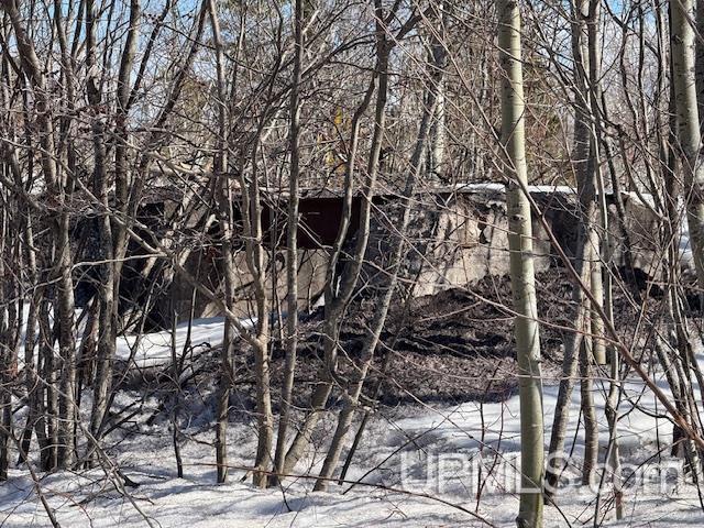
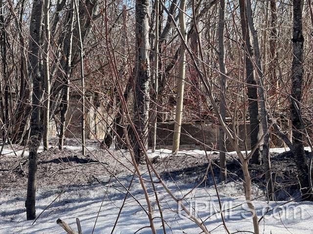
TERRAIN Deep Lot - 150+ Ft., Wooded |
Utilities
|
UTILITIES Unknown (Utilities) |
|
SEWER None |
|
FUEL ON SITE None (Fuel On Site) |
Listing Details
|
LISTING OFFICE Century 21 Affiliated |
|
LISTING AGENT Guitar, Darrell |